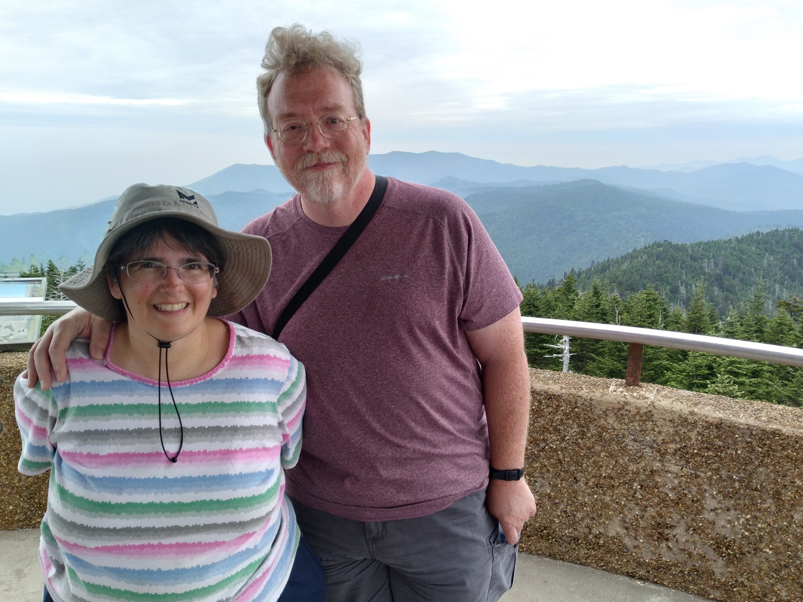
I posted an alternate take of this moment on the occasion of our 19th anniversary.
Previously on Midlife Crisis Crossover:
Every year since 1999 Anne and I have taken one road trip to a different part of the United States and seen attractions, wonders, and events we didn’t have back home. From 1999 to 2003 we did so as best friends; from 2004 to the present, as husband and wife. After years of contenting ourselves with everyday life in Indianapolis and any nearby places that also had comics and toy shops, we overcame some of our self-imposed limitations and resolved as a team to leave the comforts of home for annual chances to see creative, exciting, breathtaking, outlandish, historical, and/or bewildering new sights in states beyond our own. We’re the Goldens. This is who we are and what we do…
One of the drawbacks of posting less often than I used to, while remaining stubbornly committed to long-form miniseries such as this one, is that sometimes it takes me so long to share our experiences that a status quo can change dramatically between then and now, and I have to insert updates from our past’s future.
Case in point: upon our visit to Great Smoky Mountain National Park on June 29, 2023, the highest point in the park and in all of Tennessee — and, while we’re at it, the third-highest point on the Appalachian Trail — was a mountain called Clingmans Dome, standing an impressive 6,643 feet. (Not the tallest mountain we’ve ever stood atop, but still!) It was named after Thomas L. Clingman, a North Carolina politician who explored the area quite a bit according to the geographer friend who picked the name. Clingman served as a state senator, a U.S. Congressman, and a Confederate general. Yep, you can guess where this is going.
Fifteen months after our momentous occasion, in response to lobbying efforts and proper form-filing from the local Cherokee tribal council, as well as support from the U.S. National Park Service and the county commissioners’ board, the name “Clingmans Dome” was retired in favor of Kuwohi, which is much closer to the original Cherokee name. It means “mulberry place” and…let’s face it: in most states, mulberries are much less unpopular than Civil War officers who fought for slavery. The shorter name also means they can use smaller, cheaper signage and save a little extra printing space for land acknowledgments in their tourist pamphlets if they’d like.
But that was September 2024. This was June 2023.
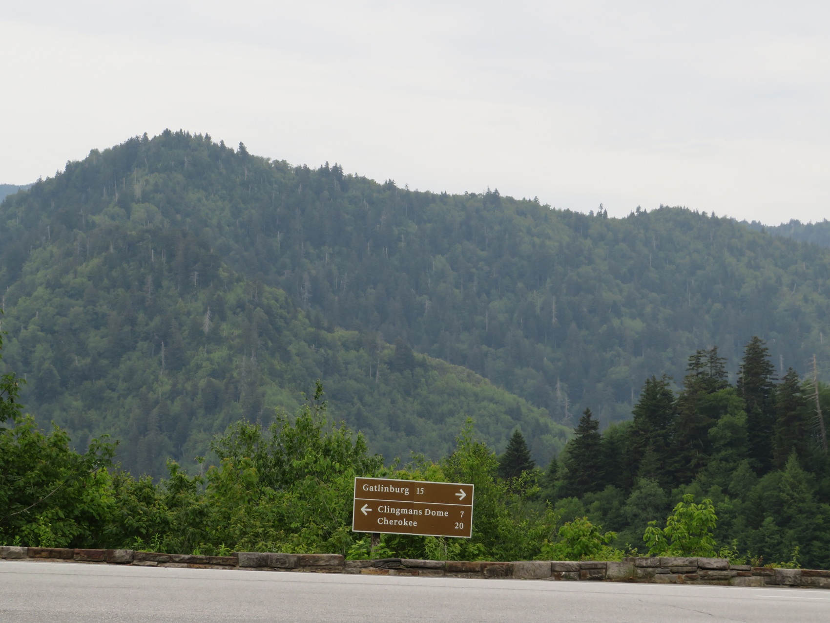
This has been “Anachronism Aversion Theater”, only on Midlife Crisis Crossover!
As the sign notes, it was a seven-mile drive from the Newfound Gap Overlook to the parking lot at the bottom of a half-mile, generously wide, mercifully paved, extremely uphill walking path. If you’re the sort of hardy hiker who carries an odometer to count your mileage walked per day instead of a pedometer to count measly mere-mortal steps, this exercise would pose no challenge. We roly-poly middle-agers have been known to walk several football fields’ worth of comic-con exhibit halls, but perhaps now it’s time to casually drop into our narrative that — oh, hey, by the way! — Anne had been suffering the pains of plantar fasciitis throughout this entire trip. I guess I should’ve mentioned that in an earlier entry for value-added foreshadowing.
Foot pain literally nipped at her heel for months, before and after this trip. With time and medical advice and prayer and more time, as of today her feet are fine. But that’s here in May 2026. This was June 2023, and I cannot begin to describe how much that sucked for her. We weren’t aware our mountain trek would end with a half-mile upward final-boss battle, but Anne was absolutely, positively, doggedly, possibly foolhardily determined to reach the very tiptop, no matter how long it took.
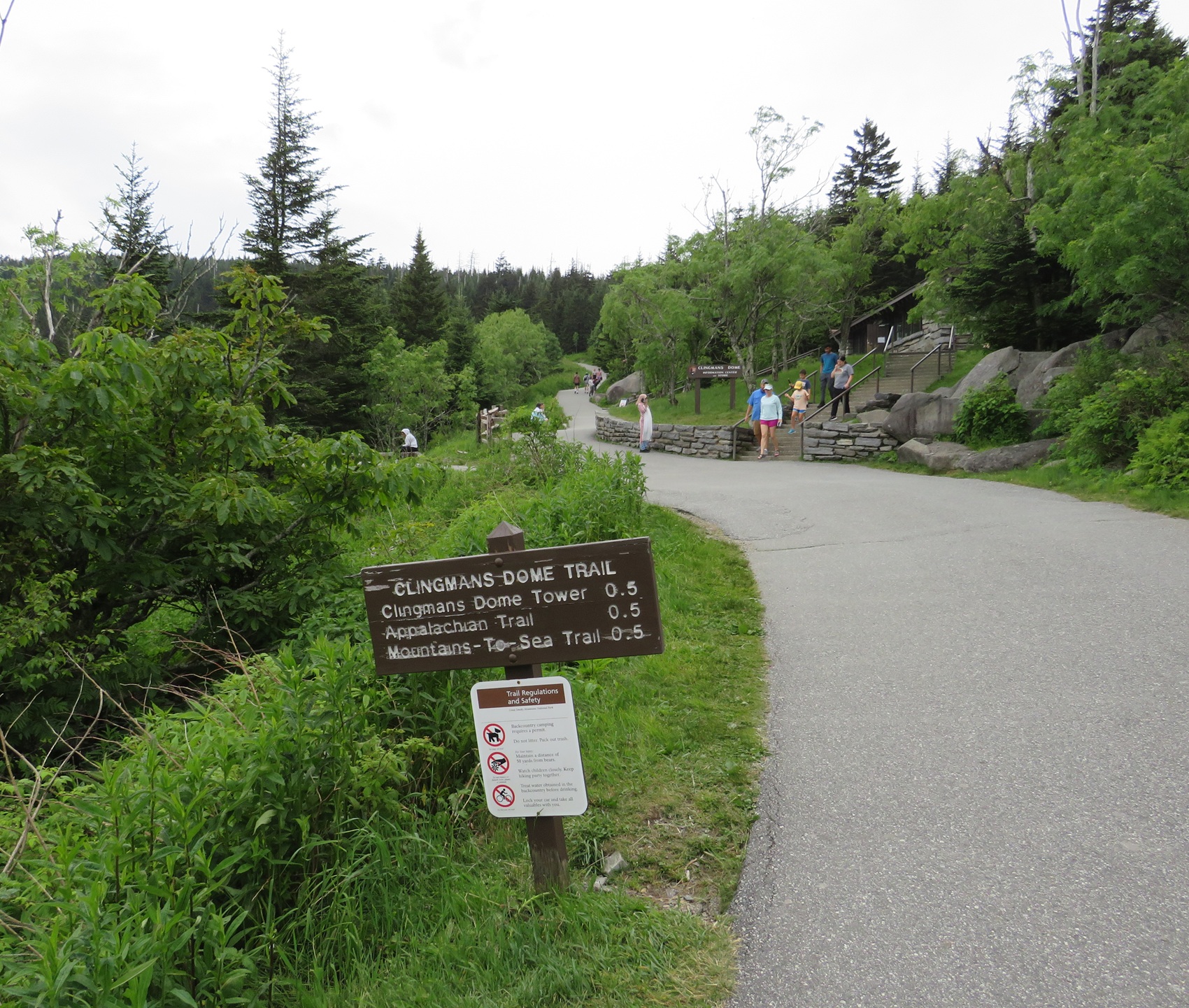
It’s not quite the 7,000 steps of Tamriel’s Throat of the World, but still…
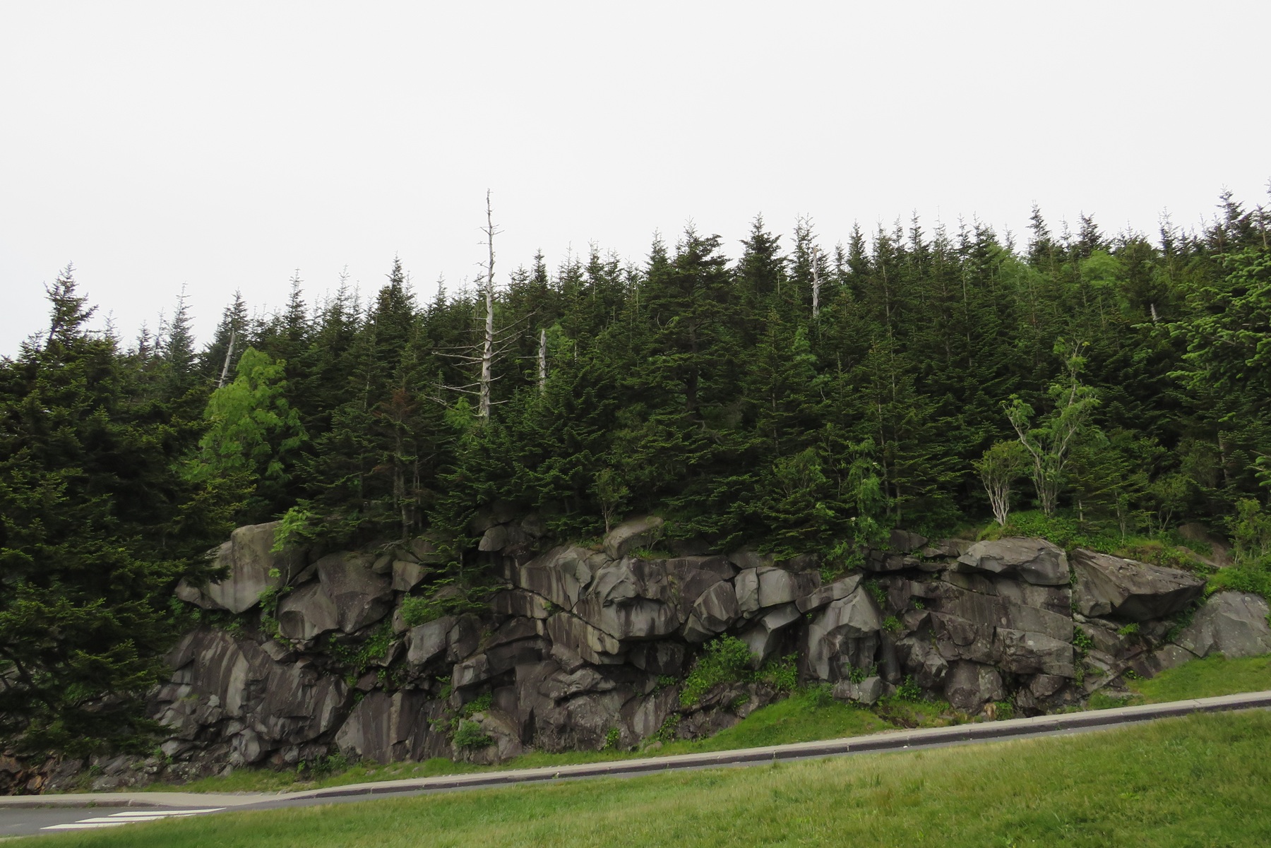
A rock face near the parking lot, if I haven’t gotten my files mixed up.
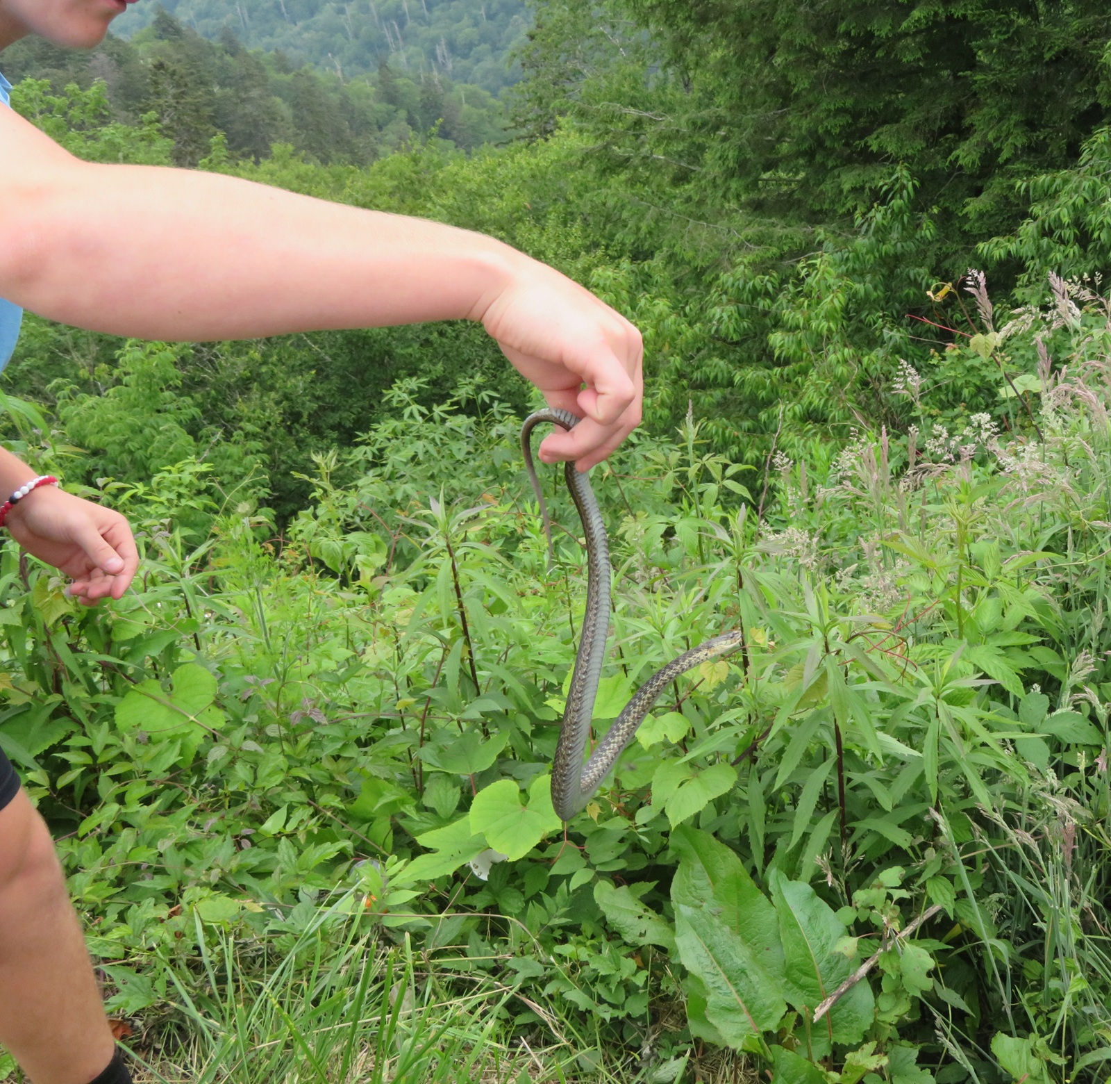
A fellow tourist found herself a nonvenomous snake to show off to any nearby kids.
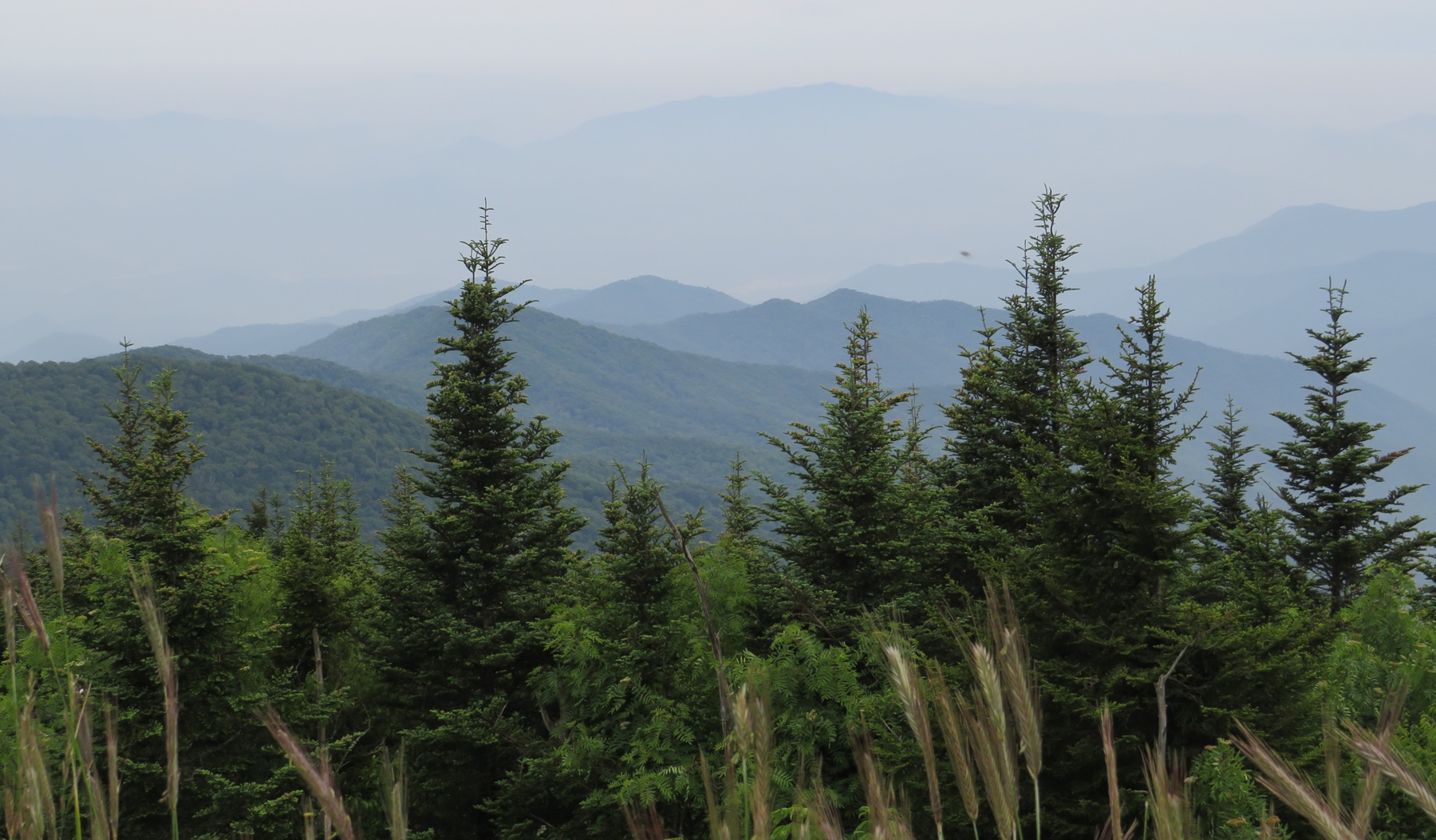
Sample treetops on our left as we boldly went.
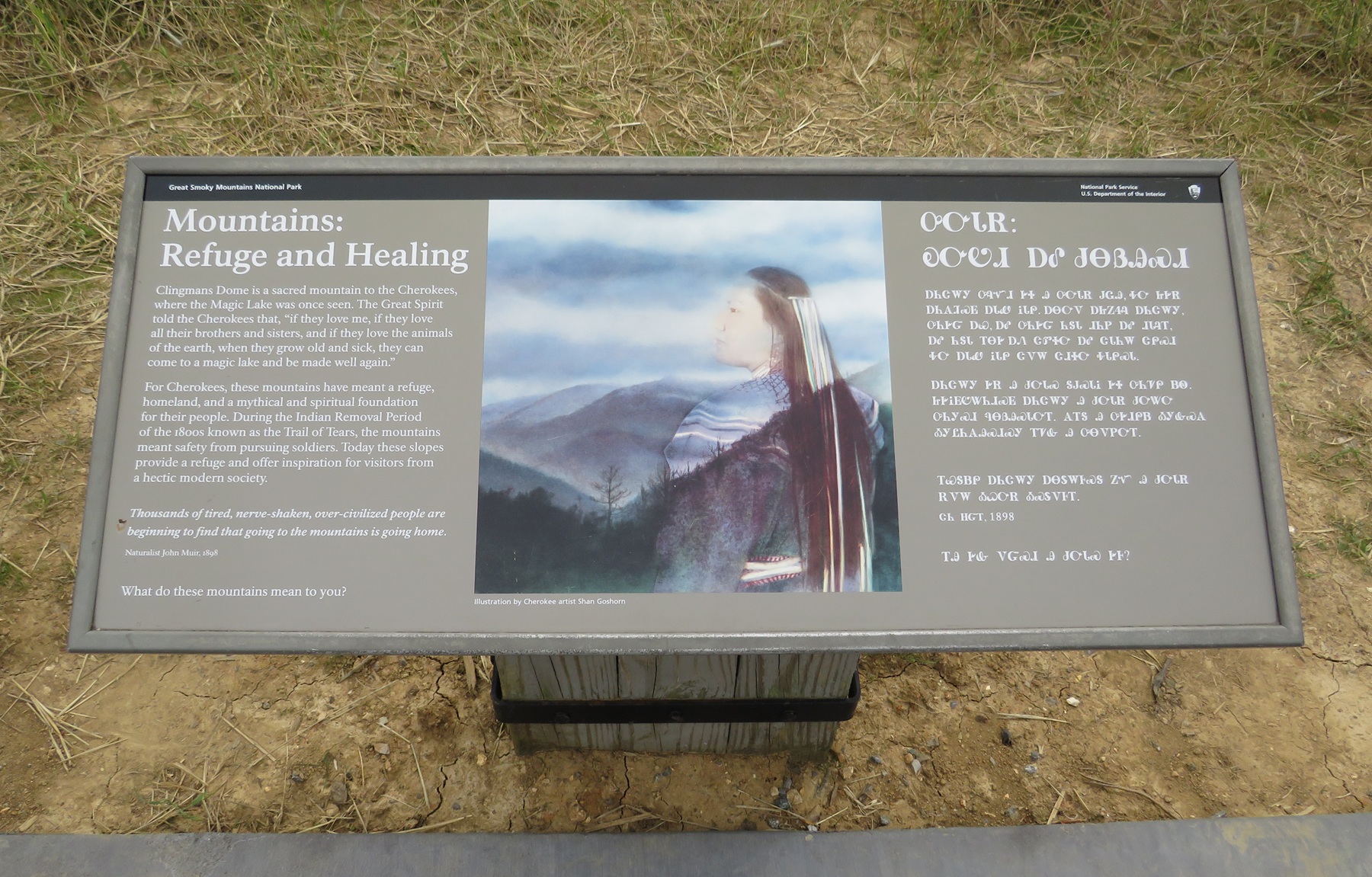
Several educational signs were printed in English and in Cherokee.
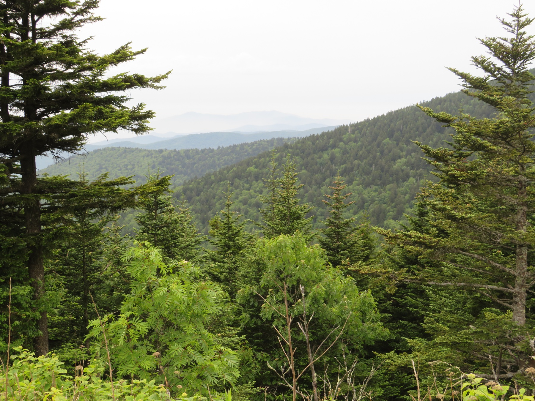
More treetops as we tentatively soldiered onward.
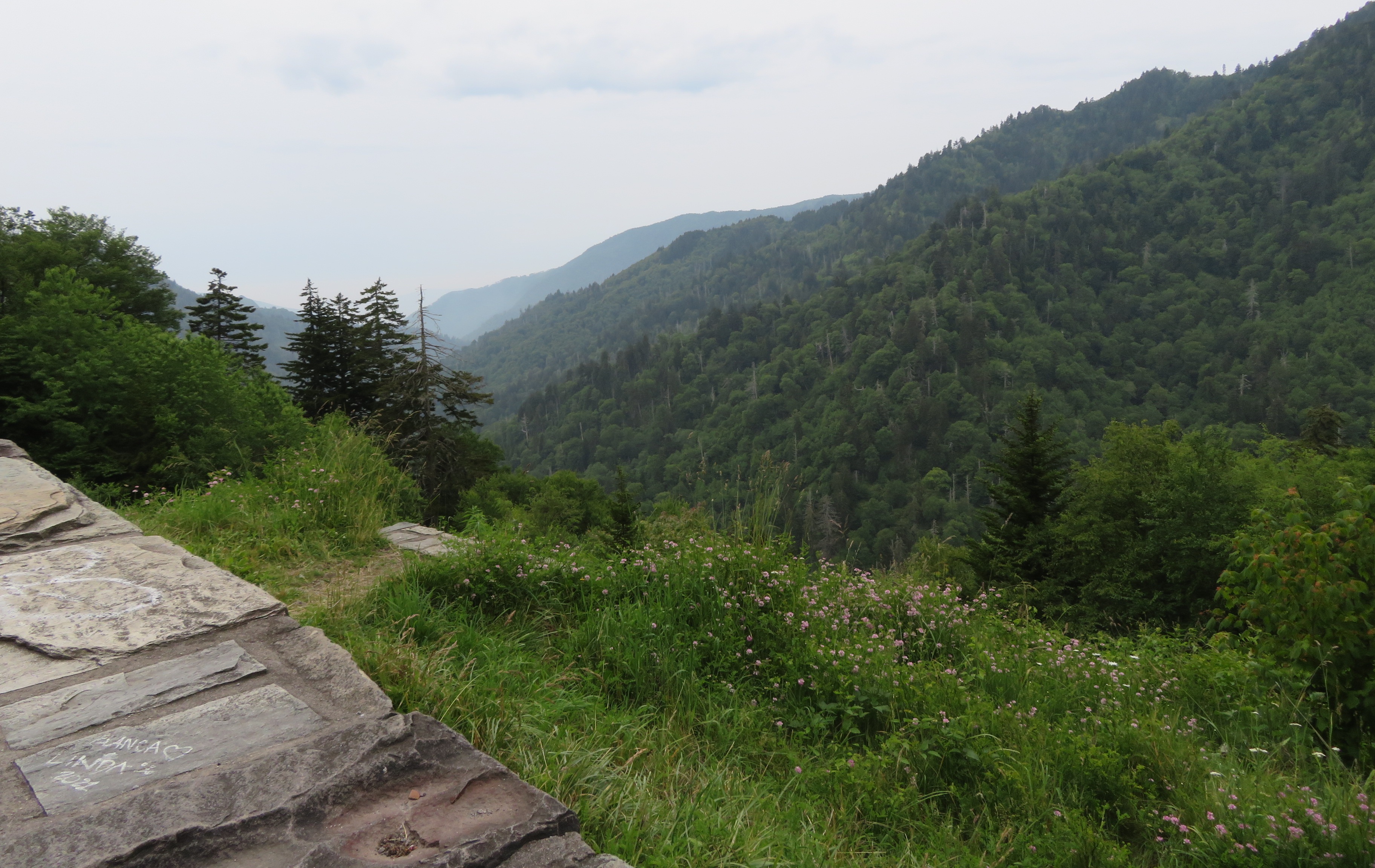
One of many valleys awaiting us if we fell down and rolled off the side because of sudden-onset Sonic madness.
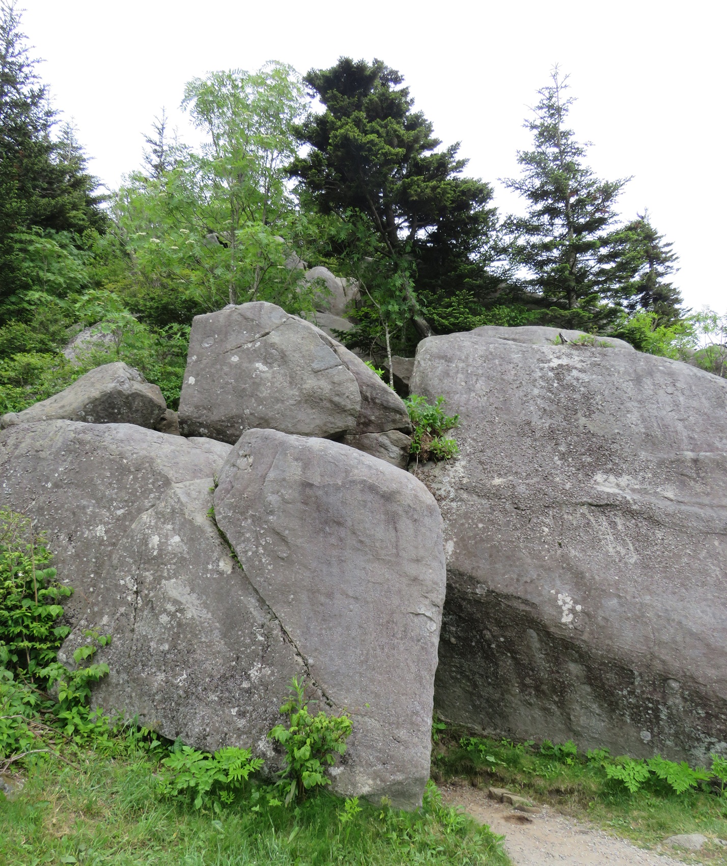
Big rocks on our right, shoring up the mountain face against erosion or snowy avalanches or whatever.
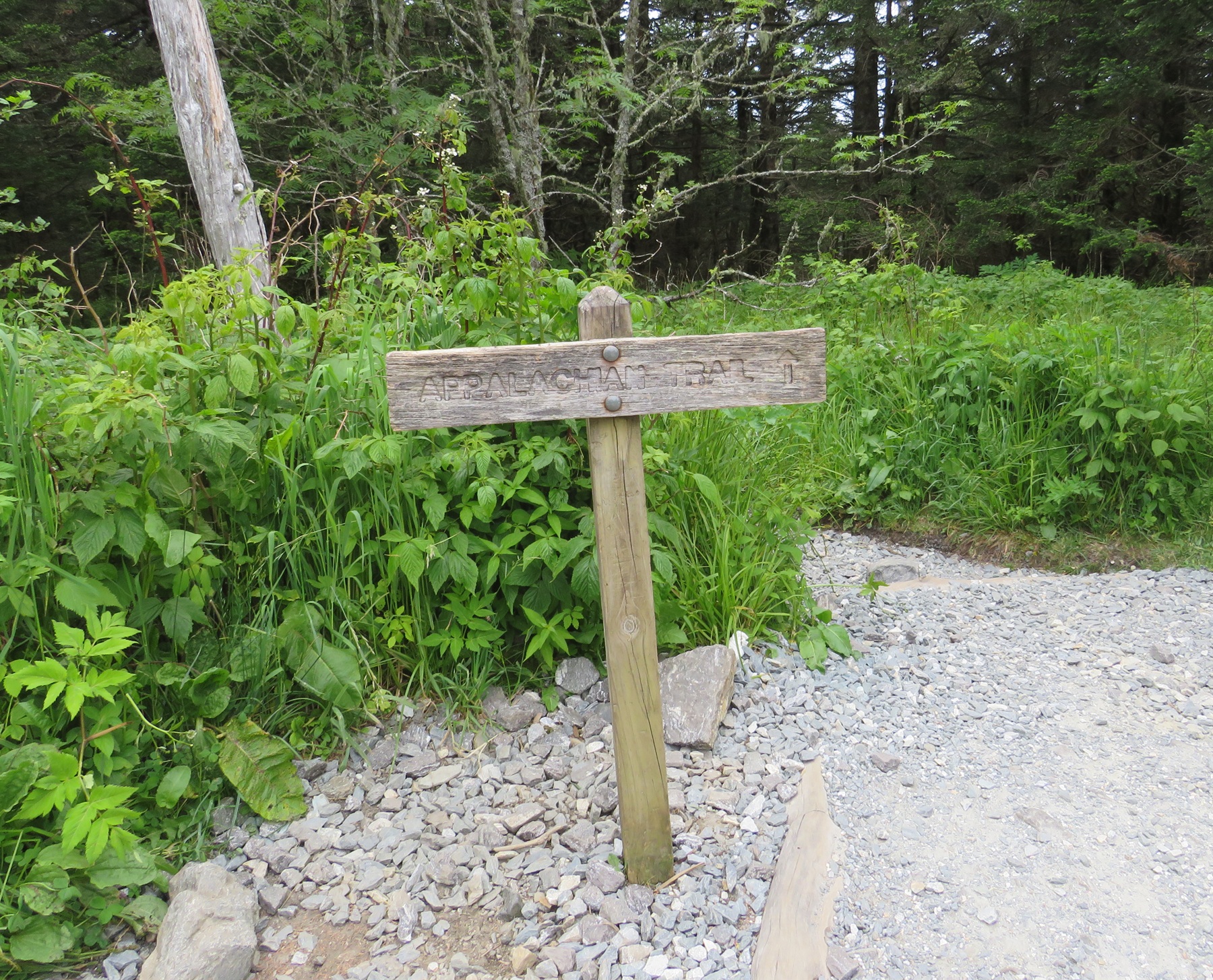
Not our first time crossing the Appalachian Trail.
I was surprisingly fine. Anne unsurprisingly wasn’t. We walked as slowly as she liked, which was really slowly. Dozens of other hikers and families passed us by. We didn’t mind. This wasn’t a race. Nobody was timing us. Sometimes we’d exchange polite greetings with those who lapped us. A few paused and showed concern. We stopped and rested quite a few times, especially wherever benches were stationed. We made sure to bring water with us. We tried not to feel keenly aware that we’re on our way to becoming the sort of elderly couple that we used to speed-walk rings around. (But politely so! I hope!)
At Anne’s compromised pace a half-mile of arduous trudging took us about an hour. We all but cheered when we sighted the reward at the end: there’s an observation tower at the top. A spiral ramp leads to the uppermost deck. Yep, your reward for walking all the way up is still more walking. But if you’ve already walked a half-mile up a 6600-foot mountain, what’s another 375 feet of concrete in exchange for a 45-foot boost above the mountaintop?
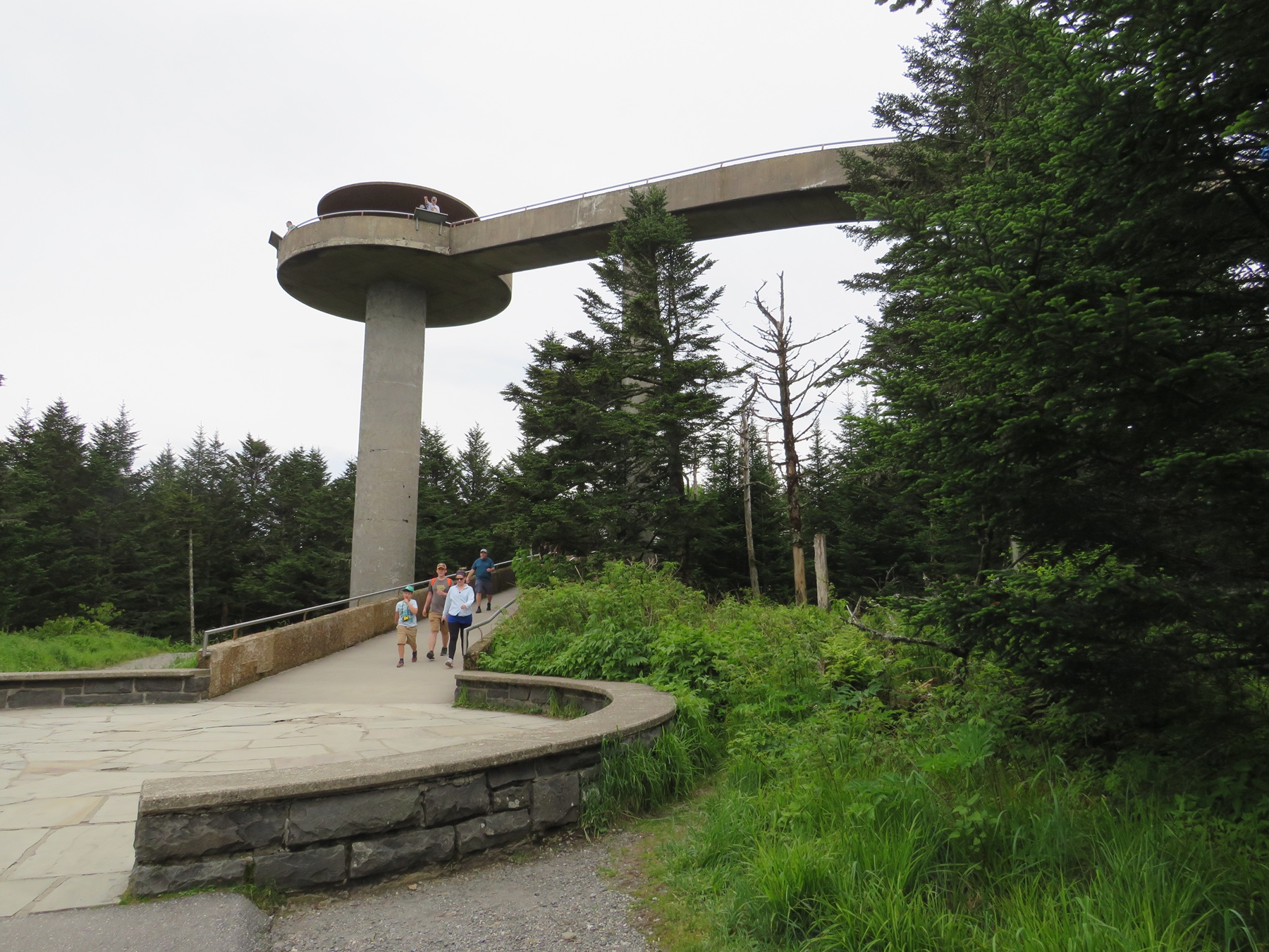
The observation tower is like a Jetsons house made of Flintstones bedrock.
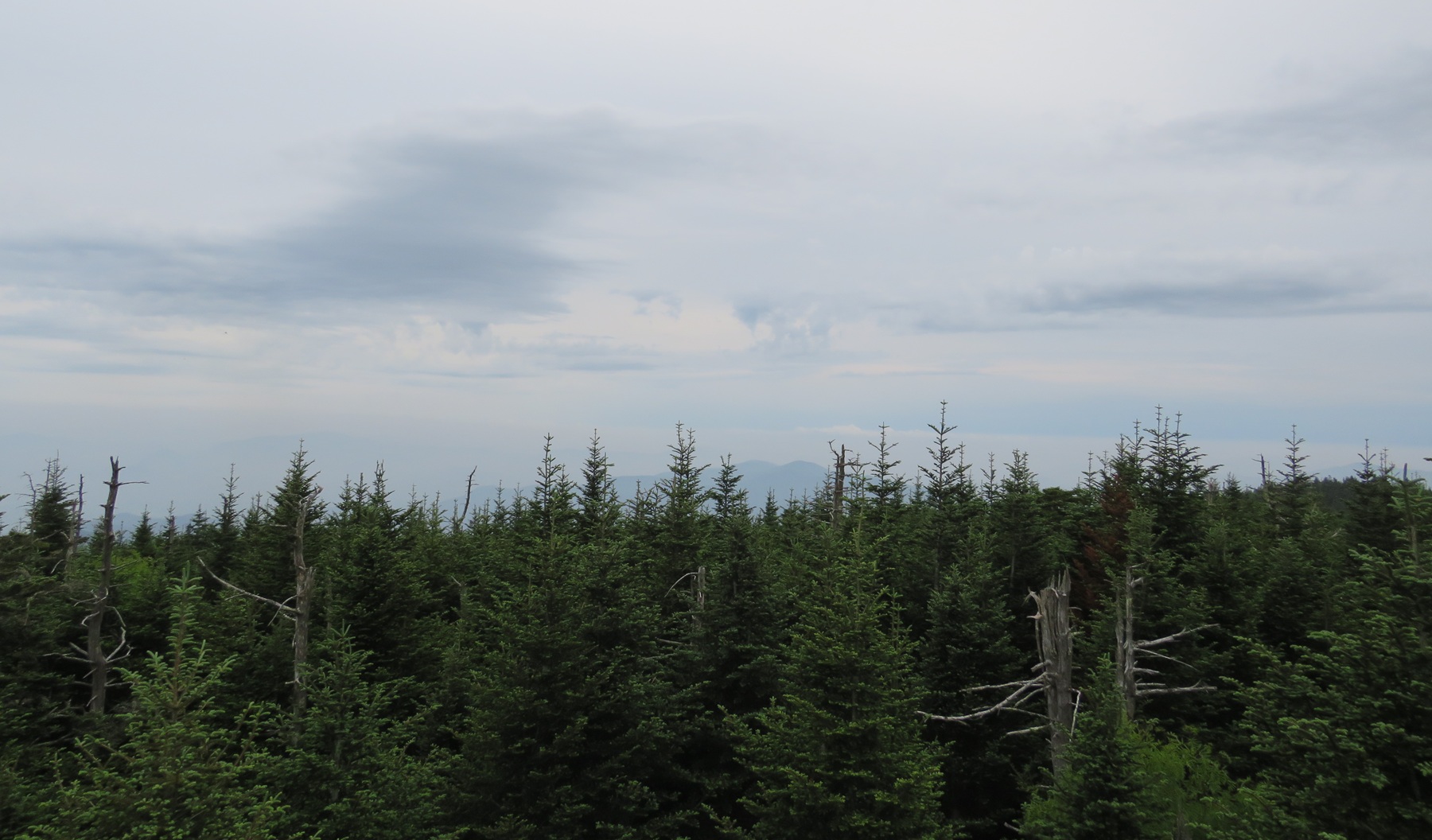
Still more treetops as we raggedly inched up the ramp.
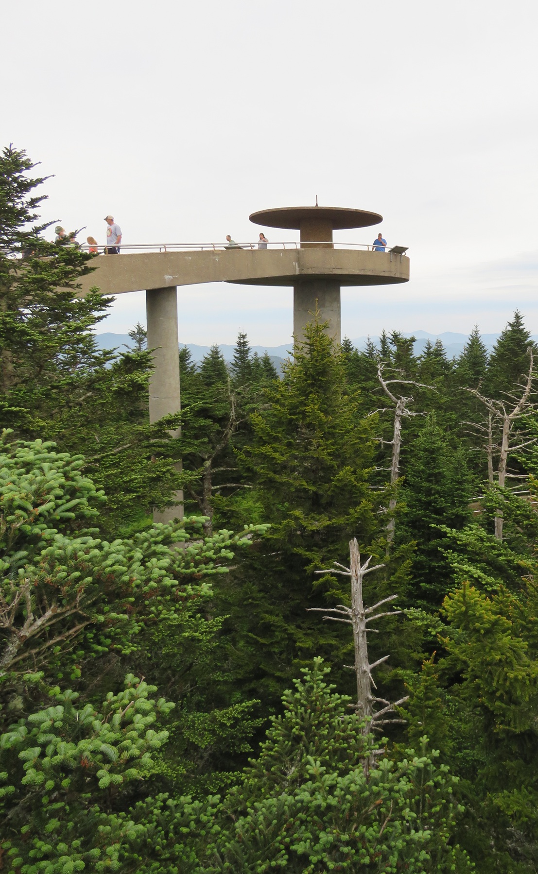
The other side of the tower as we wound around and around.
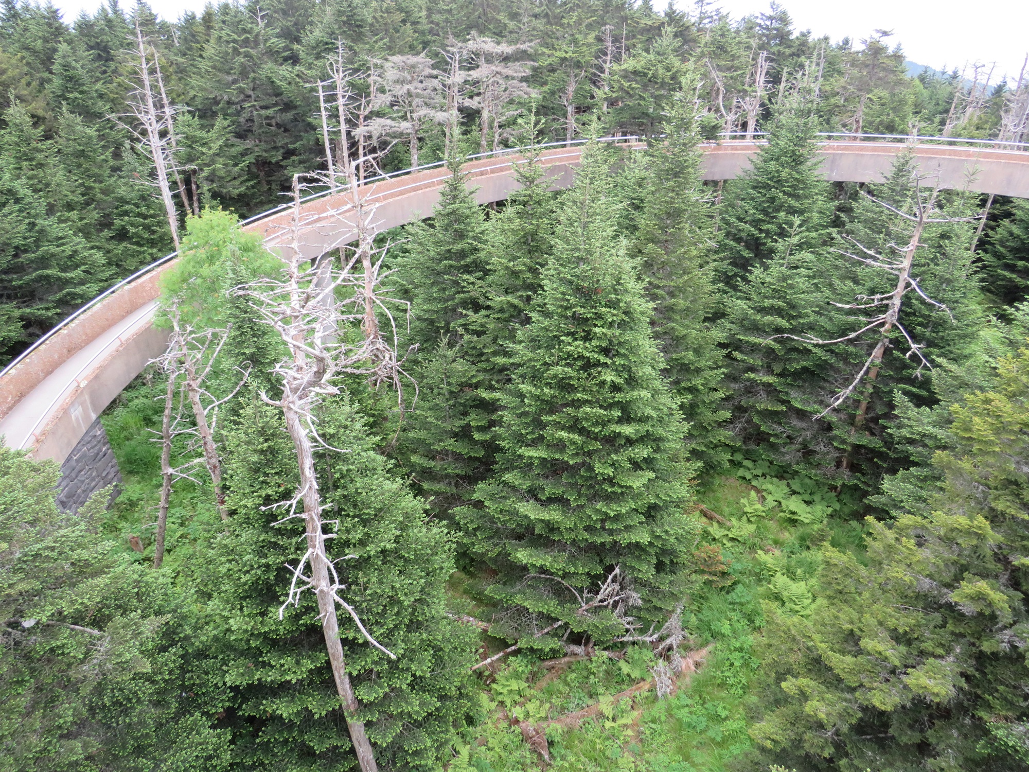
The view from on high as we circled and left the trees behind.
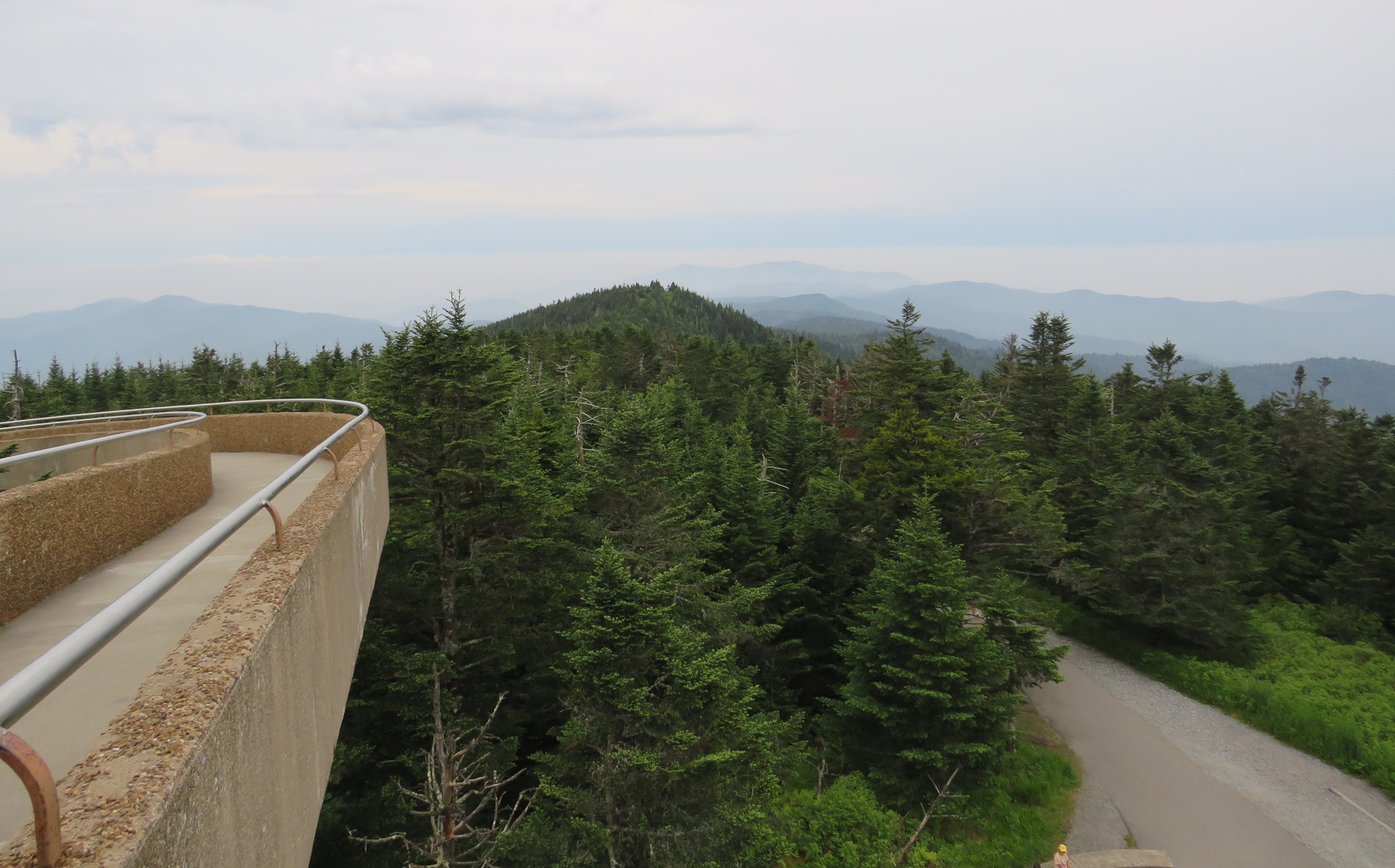
The entrance to the tower landing from the half-mile path.
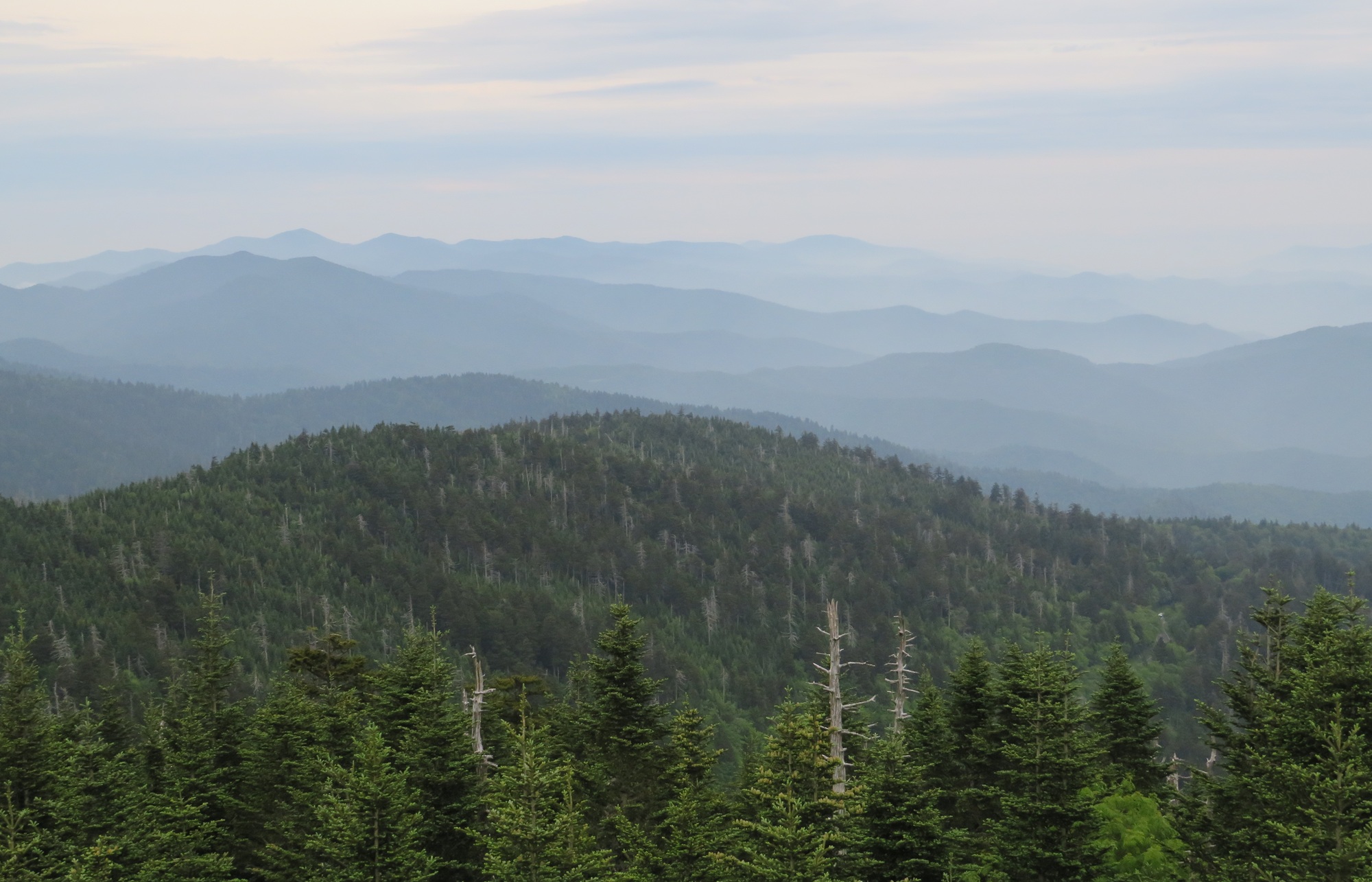
In another direction, deader trees lead to the horizon.
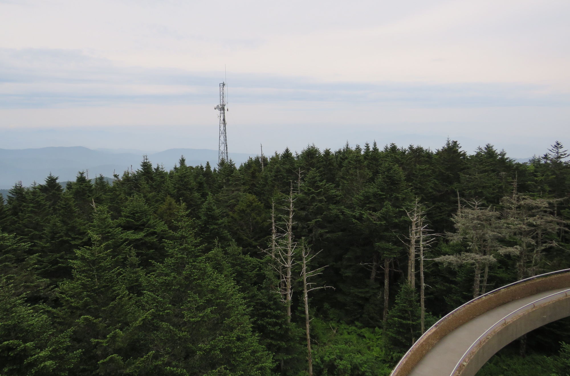
Still another direction, but marred by a 21st-century protuberance.
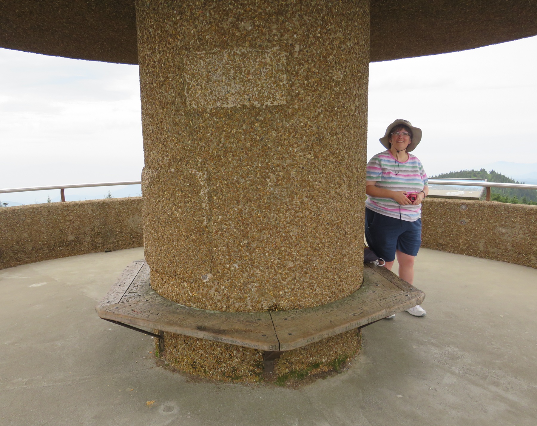
Success! Anne lived to discover benches at the top.
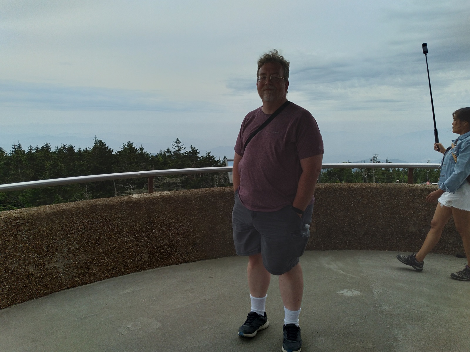
Other successful Clingmans Dome Climbers. Or Kuwohi Klimbers, whichever.
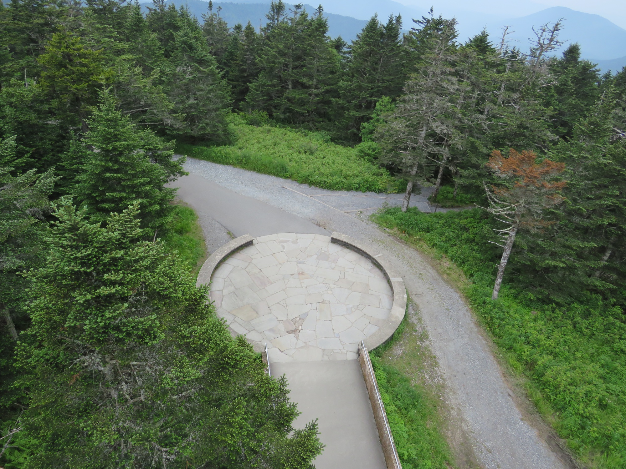
We gazed down upon where we’d been and how far we’d come.
We lingered for a bit, enjoyed the view for miles all around, and wished the day were a tad sunnier. As you can imagine, the return trip downhill went slightly faster, partly because gravity and partly because we were stoked with a sense of accomplishment and survival. Anne was thrilled to have overcome her infirmity and crossed this off her to-do list. As we jaunted in reverse, she kept shouting encouragement to each and every uphill climber we passed. Some looked just as beaten-down as she’d felt on the way up. Now she was the wandering encourager, letting everyone know the long haul was absolutely doable.
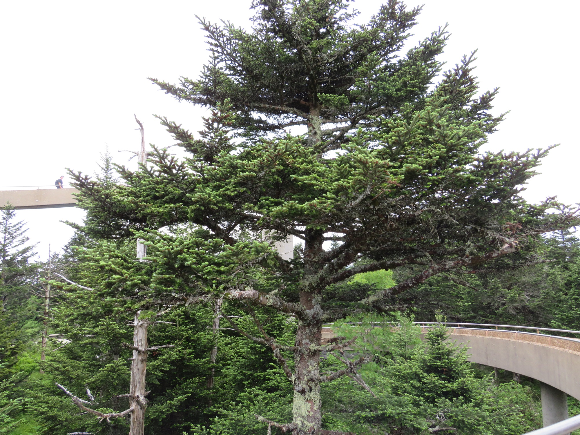
Some of the nearer trees as we descended the ramp.
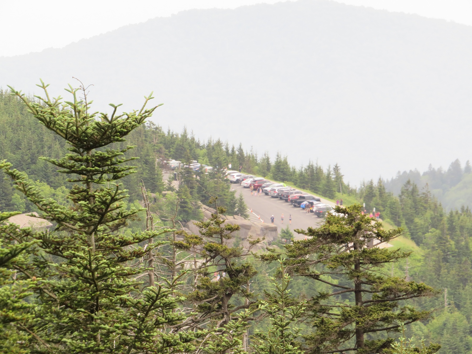
Our next objective: returning to the parking lot that was now so, so very far away.
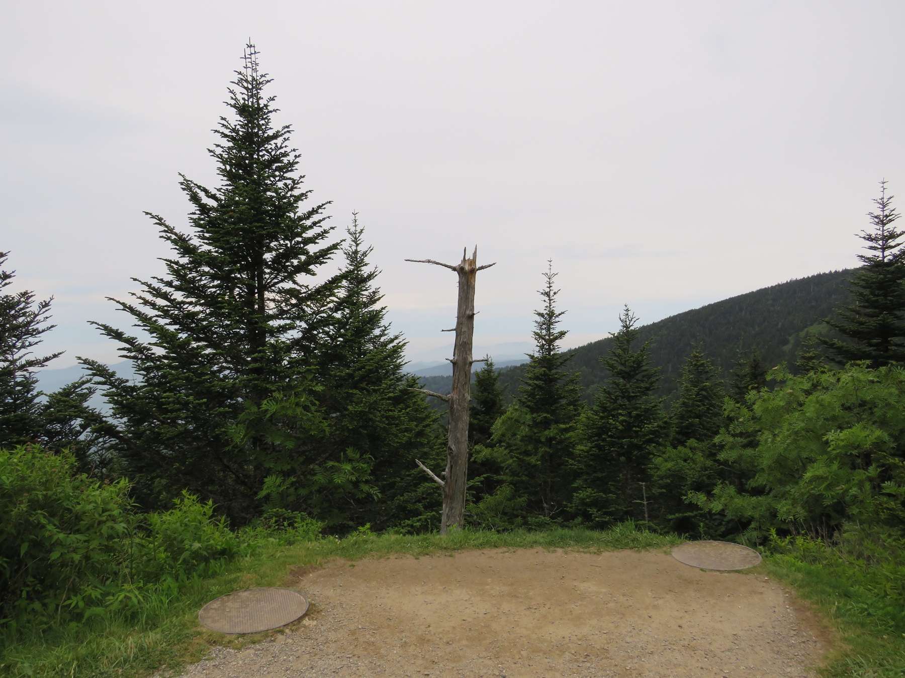
On the way down, we didn’t need the rest stops quite so much.
We enjoyed our experience so much, we bought T-shirts at the gift shop at the end of the long walk. They even had big-and-tall sizes, which are not common in our travels. We accepted our wearable trophies and looked forward to overdosing on ibuprofen later.
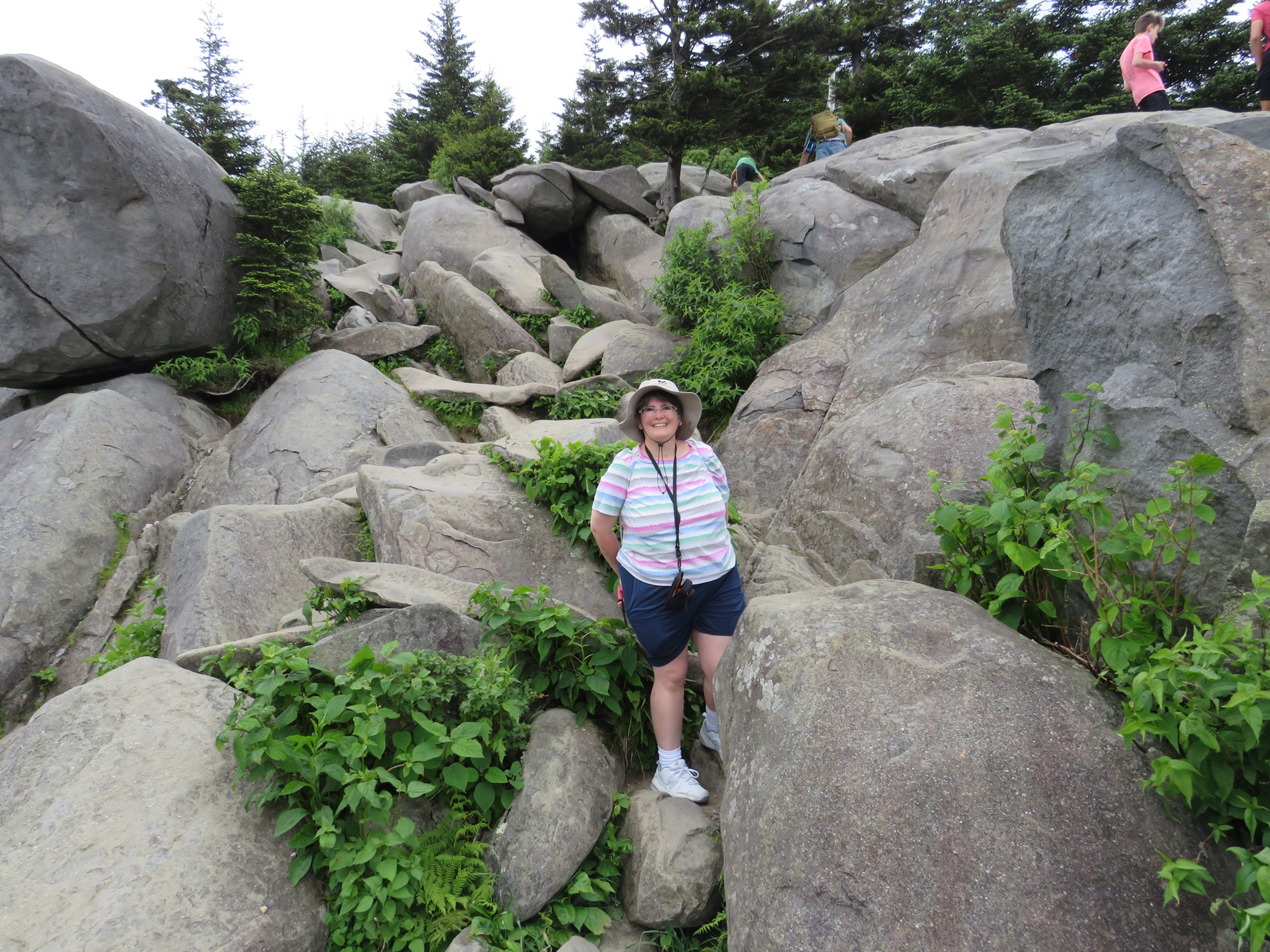
Anne basks in victory over the mountainside rocks that she basically conquered in so many words.
Also, for those still keeping score at home…Clingmans Dome: no bears.
To be continued!
* * * * *
[Link enclosed here to handy checklist for other chapters and for our complete road trip history to date. Follow us on Facebook or via email sign-up for new-entry alerts, or over on BlueSky if you want to track my faint signs of life between entries. Thanks for reading!]
Discover more from Midlife Crisis Crossover!
Subscribe to get the latest posts sent to your email.

