Day Three was our first full-length day in Boston. We arrived the night before and discovered for ourselves the convoluted, aggravating, illogical, asymmetrical, mind-bending labyrinth that is their street “design”. According to a legend I’m making up on the spot based on my exasperated experiences, the Puritans who first settled the area in 1630 chose where their roads should lead by donning blindfolds, spinning around fifty times, and trying to walk in straight lines while carrying overflowing buckets of paint. Wherever they splashed the paint, no matter what contorted shapes it made, even if paint lines crisscrossed, overlapped, swirled in arcs, ran up the side of buildings, dropped into sinkholes, or dead-ended in someone’s parking lot, thus was the gravel laid and the licensed cartographers called in to stamp the resulting wagon-sized entanglements with the Department of Transportation’s official Seal of Approval. When future generations suggested that perhaps some courtesy straightening or extensive rerouting might be in order, those generations were thrashed within an inch of their lives and asked to leave town for attempting to undermine sacred tradition and for daring to badmouth The Way Things Have Always Been.
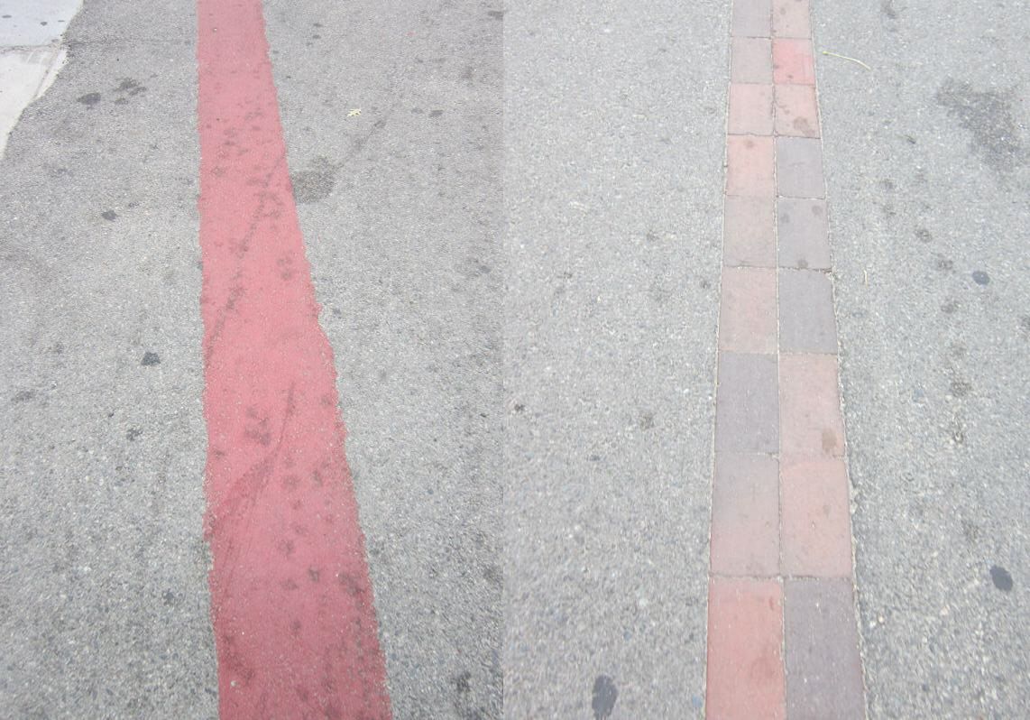
Centuries later, some radical free thinker was appointed to head the Department of Art, Tourism, and Special Events for the Mayor’s Office and was struck by the realization that the city’s tourist trade might go bankrupt if their numerous historical attractions were impossible for tourists to find without using black magic. To that end, Boston’s Freedom Trail became the first time we’ve ever seen a major city create a permanent travel guide based on the Raiders of the Lost Ark red-line method. With some portions painted and some made of collinear bricks, the Freedom Trail street guide leads interested parties on a two-mile walking tour of a dozen-plus famous spots of considerable renown without playing a paid game of Follow the Leader with a local part-timer.